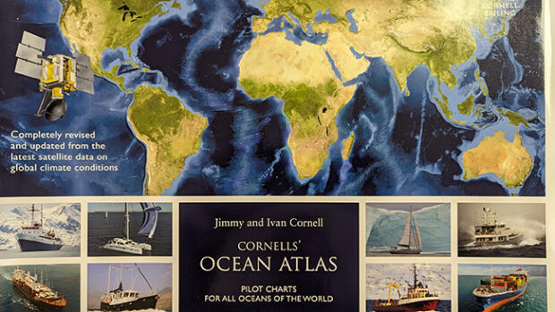
At the Annapolis Sailboat Show last week, I had the good fortune to have lunch with my old friend Jimmy Cornell and Cruising World’s Senior Editor Theresa Nicholson. Jimmy was at the show to meet up with friends and promote his new books, which are distributed in North America by Paradise Cay Publishing. I am particularly interested in the revised and updated edition of the Cornell’s Ocean Atlas, Pilot Charts for all Oceans of the World. Pilot charts have been used for ocean route planning since the mid-1800s and were compiled from the logs and notes from thousands of ships over many years. But, until Ivan and Jimmy Cornell undertook the task 12 years ago to update the pilot charts for the world using satellite and buoy data, the charts were only general approximations. The first-generation Cornell charts were much more accurate and thus much more useful for skippers planning passages. This year, Jimmy and Ivan have updated and revised the charts –all 155 pages of them—to reflect the dramatic effects of climate change on the world’s ocean and weather systems. As the authors note in their introduction, “The safety factor in voyage planning is now even more important than in the past. With careful planning, and by being more aware of the consequences of climate change, tropical storm seasons, and critical areas can still be avoided.”
If you are going to sea and want to lead the voyaging life, Cornell’s Ocean Atlas should be in your chart table. Read more and order the charts here.


