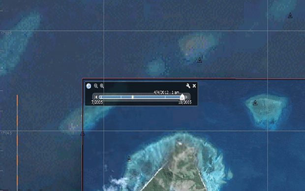
(Yachting Monthly) – Meteorologist Chris Tibbs explains how useful Google Earth can be as you sail in areas far afield. He discusses using satellite imagery from Google Earth and how to overlay GPS coordinates for greater accuracy. Tibbs comments on open source CPN and various Apps to aid in navigation while bluewater cruising for both Apple and Android products. Read More
You Might Also Like
Recent Posts
-
Starlink for 2025, The Moving Target is Still Moving
April 2, 2025 -
Survey of the Week
April 2, 2025

