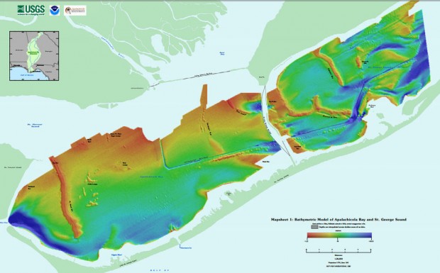
What shoreline knows not our maps? Most of them, it turns out. While satellites map much of the globe on a daily basis, there are parts of the planet so small and changing that they’re tricky to pin down exactly. NOAA, America’s National Oceanic and Atmospheric Administration, makes charts that anyone who navigates the sea can use, and to get the fine details on little inlets right, they turn to drones. Read More
Dock Talk
0
NOAA’s Tiny Boat Drones Map The Ocean’s Shallow Floors
By Administrator · On March 31, 2016You Might Also Like
Recent Posts
-
Cruising Keyna’s Marine Parks and Preserves
April 9, 2025 -
Survey of the Week
April 9, 2025


