What you need to know about the recent change to the US Inland Navigation Rules (published September 2015) Last year about this time, the USCG changed […]
The New Inland Navigation Rules
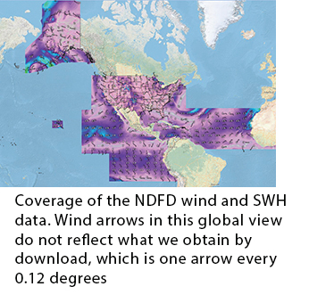
The National Digital Forecast Database
(published July 2015) The primary method of weather routing underway these days is based on vector wind forecasts in GRIB format displayed in echart navigation programs. […]
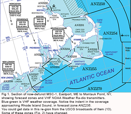
Marine Weather Services Charts-How to Make Your Own
(published May 2015) For many years the National Weather Service (NWS) published Marine Weather Services Charts (MSC) that listed crucial information for mariners using their services. […]
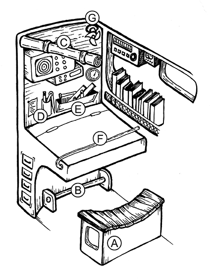
Nuts and Bolts of Successful Ocean Navigation
If you can’t find the pencil, you can’t draw the line (published March 2015) There is a lot we learn from a first ocean passage that […]
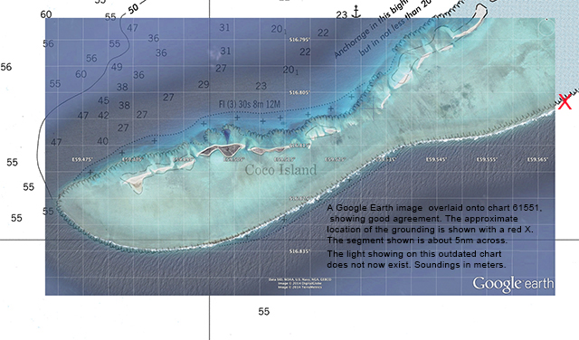
Don’t Blame eCharts for Anything
What the grounding of the Team Vestas Wind boat in the Volvo Ocean Race reminds us about our own navigation (published January 2015) We have long […]
Sailing Smart
Understanding the most important book in navigation (published November 2014)Recent maritime news brings us back to the Navigation Rules. We tend to think of these Rules […]
Rotary Currents
Learn the nuances of these currents to help in your coastal navigation (published September 2014) Most tidal currents we deal with on inland waters are reversing […]
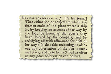
Tricky Terms in Navigation
Learning the proper meanings and uses of navigational terms will put us all on the same page, and just might teach us some history, too (published […]
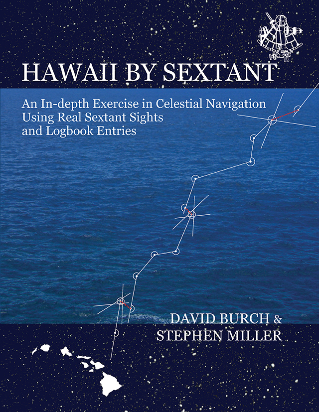
Hawaii by Sextant
How to learn and practice celestial navigation using data from a 2,800 mile ocean passage (published May 2014) Most blue water sailors think about learning celestial […]
ECS without GPS
How to use your electronic charting system for navigation, even if your GPS fails (published March 2014) We might assume an electronic charting system (ECS) is […]


